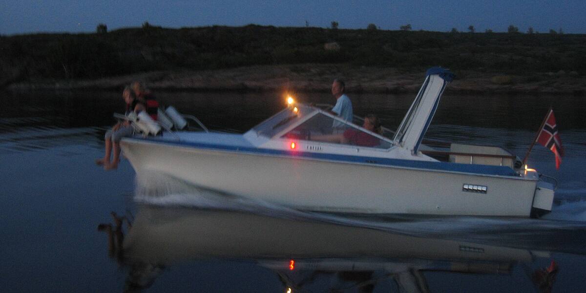
Photo: Kurth Brekke·CC BY 3.0· Wikimedia Commons
Islands / Færder / Vestre Bolæren
The westernmost of the main islands in the Bolærne group, in the outer Oslofjord off Nøtterøy. Military history from Bolærne fort, after the Norwegian Armed Forces bought the islands in 1916, and most of it is part of Færder National Park. Good for swimming and walking.
The westernmost of the three large Bolærne islands, at the outer end of the Oslofjord off Nøtterøy. Only 0.425 km², yet it rises to 50 metres, the highest point in the group. The entrance to what the military blasted out here is set in the rock face: more than 20,000 m² of halls and tunnels inside the hill.
Færder National Park. The boundaries and the rules are in Naturbase, and they are worth checking before you land anywhere outside the marked areas.
Own boat or kayak (the ferry serves Mellom-Bolæren).
Boats do run here, but the quay is not in Entur’s system. It is usually a summer service or a private crossing that never enters the national journey planner. Check with the operator before you build a day around it.
The Armed Forces bought Bolærne in 1916 to build a coastal fort. Bolærne fort formed part of the Outer Oslofjord fortress and was to close the approach with artillery and mines, together with Rauøy fort on the eastern side of the fjord. A burial cairn from the Bronze or Iron Age on Vestre Bolæren is a protected monument.
During the Second World War the installation became part of Festung Norwegen and was heavily expanded by the Wehrmacht. Soviet prisoners of war did much of the work and lived in wretched conditions in the prison camp on Mellom-Bolæren, immediately to the east. In the autumn of 1944 the camp became the collection point for Soviet prisoners who were dying of illness.
Vestre Bolæren served for years as a store, using the big tunnel system in the rock, and was the last of the islands the Armed Forces gave up. The fort was finally closed in 2006.
Færder municipality owns the island. There is a quay, marked paths and a swimming spot at Kalveenga. The marked coastal trail (*kystled*) runs right around the island. Most of it lies within Færder National Park. In 2006 the Ministry of Fisheries and Coastal Affairs established four lobster conservation areas along the Skagerrak coast, and one of them is here.
No scheduled ferry calls at Vestre Bolæren itself. Come by your own boat or kayak, or take the ferry to Mellom-Bolæren and walk or paddle across. There is a quay and a guest harbour. Protection: the island lies within Færder National Park, so keep to the paths and respect any posted seabird or landing restrictions. The lobster conservation area off the island means lobster fishing is prohibited there. Check Naturbase, the national database of protected areas, for current zones before you tie up.
More than 20,000 square metres of halls and tunnels were blasted into an island of under half a square kilometre. It is far more hollowed out than it looks from the water.
A Bronze or Iron Age burial cairn and a Cold War installation sit on the same island. People have been marking this point in the fjord for three thousand years.
Lobster is protected here. If you are out fishing, it pays to know where the boundary runs.
Oslo Sea Experience passes Vestre Bolæren on its private fjord trips from Tjuvholmen.
The Norwegian version notes which facts were taken from each source: Vestre Bolæren på norsk.