Photo: Peter Fiskerstrand·CC BY-SA 4.0· Wikimedia Commons
Islands / Færder / Ormøy
An island in the northern part of the Færder archipelago, marking the northern boundary of the protected area. Færder National Park runs from Ormøy in the north to Færder lighthouse in the south. Listed among the islands in the former Ormø-Færder landscape protection area.
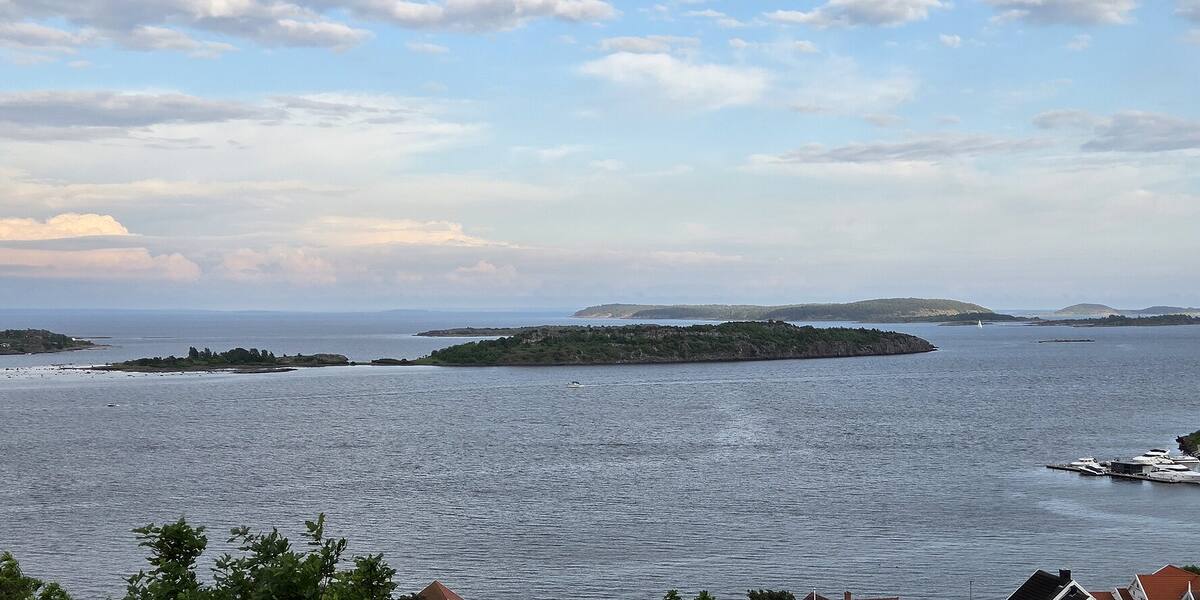
Ormøy lies between Jarlsø and Torgersøya on the east side of Nøtterøy, at the northern boundary of Færder National Park. The west side is the steepest, rising straight out of the sea. South from here, every stretch of water and every islet out towards Færder lighthouse is protected.
Færder National Park; check Naturbase. The boundaries and the rules are in Naturbase, and they are worth checking before you land anywhere outside the marked areas.
Private boat or kayak.
No scheduled boat comes here. You will have to find the nearest public quay yourself, and the rest is your own boat or a kayak. Check the wind and wave forecast before you set out. The open stretches in the outer fjord turn unpleasant in a fresh breeze.
Ormøy is mentioned as early as 1207. The Bagler faction came sailing and put in here, meaning to take King Inge by surprise at Tunsberg. Four bolts are set into the rock on the southern height, what is left of an optical telegraph. Repeater station no. 77 was in service from 1808 to 1814, during the Napoleonic Wars. Signals were passed on along the coast using vanes and balls on a mast.
The island has three Bronze Age burial mounds, all of them excavated or plundered. Two twentieth-century wrecks are registered around the island as protected heritage. Ormøybåen was settled around 1790, a small headland joined to Ormøy by a natural isthmus that has built up over the past few centuries.
Ormøy is about 120 hectares, with cabin life and permanent residents. Most of the area is private, and access along the shore follows the right to roam (*allemannsretten*).
No ferry calls here, so come by your own boat or kayak. Ormøy lies within Færder National Park, established on 23 August 2013, and marks the park's northern boundary. Seabird reserves inside the park are closed to all traffic from 15 April to 15 July, so check Naturbase, the national database of protected areas, for whether nearby islets are covered before you come alongside.
The Bagler put in here in 1207 to catch King Inge off guard at Tønsberg, eight hundred years before the island became national park.
The four bolts on the southern height are the footing of a telegraph mast from 1808 that passed messages on along the coast with vanes and balls, without a word spoken.
Oslo Sea Experience passes Ormøy on its private fjord trips from Tjuvholmen.
The Norwegian version notes which facts were taken from each source: Ormøy på norsk.