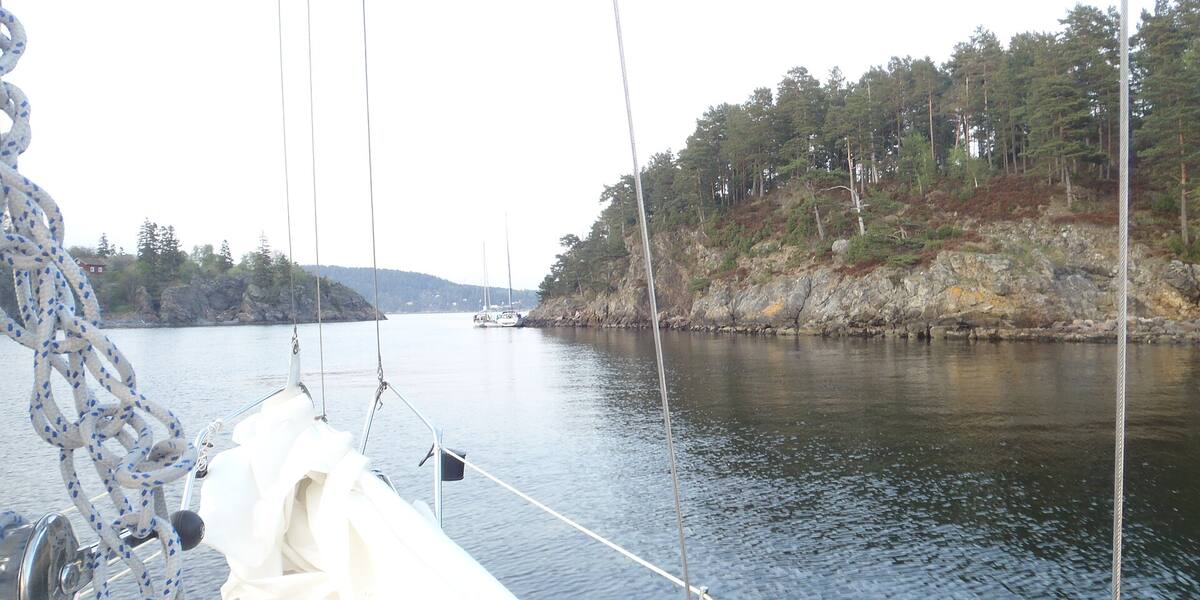
Photo: Tobixen·CC BY-SA 3.0· Wikimedia Commons
Islands / Moss / Nordre Jeløya
The northern part of Jeløya, with the valuable manor landscape and a rich flora. Reached by car across the bridge from Moss.
Nordre Jeløya is the green, open north end of the large island of Jeløya, with fields, avenue trees and manor farms sloping down towards the fjord. There is none of the dense building that marks the southern side towards Moss. From the water you see a preserved farmed landscape, with pasture running down to the shoreline, old farmyards and deciduous woods. The manor landscape shows best from off the north coast.
Nordre Jeløy landscape protection area. The boundaries and the rules are in Naturbase, and they are worth checking before you land anywhere outside the marked areas.
road bridge from Moss.
The island is connected by road, so you need neither a boat nor a timetable.
The whole of Jeløya is built on Permian lava, part of the Oslo Rift (*Oslofeltet*), and the good soil that made the area manor country is at the north end. Merchants and officials from the town laid out estates here, Alby, Reier, Grimsrød, Orkerød and several more, each with a large farmhouse and open farmed land around it. Galleri F 15, founded in 1966, is at Alby farm. What makes the north end valuable botanically is the lime-rich Cambro-Silurian ground that comes through in the lower areas and supports plants that grow nowhere else in the district.
Nordre Jeløy is protected as a landscape protection area (*landskapsvernområde*) to keep this manor landscape whole: old farmyards, pasture, avenues and rich flora. The protection keeps the landscape open and stops the north end being built over the way the south side was.
Nordre Jeløya is farming, forest and outdoor life. Grazing animals keep the farmed landscape open, and paths tie the farms and the beaches together. Alby with Galleri F 15 is a fixed destination, with art, a café and a park facing the fjord.
Nordre Jeløya is reached by car across the bridge from Moss, like the rest of Jeløya. There is no ferry. It is a landscape protection area. Walking is allowed, but this is farmed landscape with grazing animals and cultivated fields. Keep to the paths, close gates and leave animals and crops alone. There are several beaches along the coast. Check Naturbase, the national database of protected areas, for the smaller nature reserves in the area before landing anywhere fragile.
The north end of Jeløya is protected while the south end is town. The bridge opened the whole island up, but in the north the landscape was frozen as it stood, with manors, pasture and avenues instead of housing estates.
The lime-rich ground makes Nordre Jeløy one of the richest places for plants in the Oslofjord. Botanists travel here for species found nowhere else in the region.
Alby was an ordinary manor farm until 1966, when Lars Brandstrup turned it into the first art centre of its kind in Norway. The Momentum art biennial is held here now, in the middle of grazing land.
Oslo Sea Experience passes Nordre Jeløya on its private fjord trips from Tjuvholmen.
The Norwegian version notes which facts were taken from each source: Nordre Jeløya på norsk.