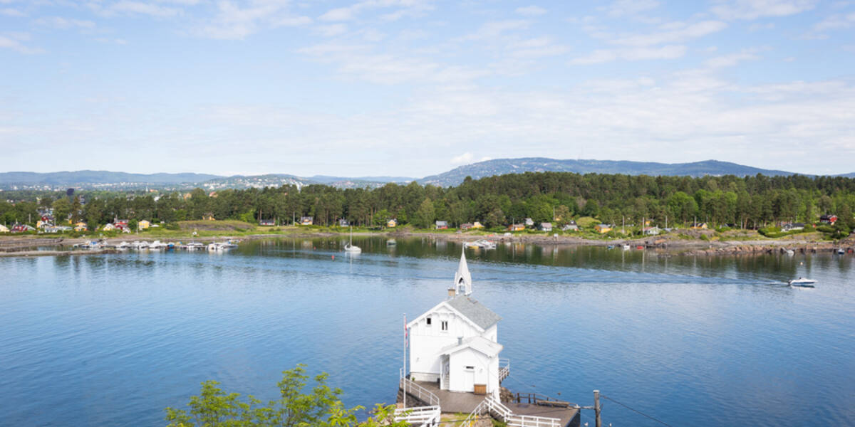
Photo: Tore Sætre·CC BY-SA 4.0· Wikimedia Commons
Islands / Oslo / Lindøya
A state-owned island (0.41 km²) in the inner fjord, known for its 289 small cabins organised into 16 sections. The settlement began with tents around 1905. There is a shop, a football pitch and swimming spots open to the public.
Lindøya lies just west of Gressholmen, a green island covered in hundreds of small cabins in red, yellow and green. From the water you see the cabin town climbing up from the shoreline, packed close together. The south side is where it comes closest to the water. Every colour and every dimension is regulated, and the whole settlement started out as tents.
Lindøya nature reserve at the northeast end of the island (rare lime-rich pine forest). The boundaries and the rules are in Naturbase, and they are worth checking before you land anywhere outside the marked areas.
Ferry from Rådhusbrygge 4.
Times shift with the season, and several of the island boats run only in summer. Check the current timetable at Ruter.
Lindøya is state-owned and covers 0.41 square kilometres, 41 hectares (410 dekar). Outdoor life here began around 1905, when city people started pitching tents on the island for the summer. Restrictions on use followed a midsummer party with dancing around 1920. Members of the boat clubs applied to the Ministry of Agriculture for permission to put up permanent cabins against a ground rent, on condition that they organised themselves and kept order. Permission was granted, and the result is the 289 cabins that stand there today, organised into 16 sections, each with an elected section leader.
Progress came slowly and by voluntary communal labour (*dugnad*): electricity in 1954, water in 1960, both laid by the cabin owners themselves. In 1833 the astronomer Christopher Hansteen placed a meridian stone on the island, a fixed point for surveying.
Lindøya is one of the most used cabin islands in the inner fjord, with a shared shop, a football pitch and swimming spots open to everyone. The cabins are holiday homes, and nobody lives there year-round. The bright colours and the small dimensions make the cabin town one of the most recognisable sights in the fjord.
The ferry leaves from Rådhusbrygge 4, the City Hall quay (moved from Vippetangen on 21 March 2015). Check the current timetable from Ruter, the public transport authority for the Oslo region. Private boats can tie up at the quays and anchor in the bays. The swimming spots and common areas are open to all, but the cabins and their plots are private. The northeast end of the island is a nature reserve of 9.1 hectares (91 dekar) with lime-rich pine forest (*kalkfuruskog*). Stay on the paths there, and check Naturbase, the national database of protected areas, for the access rules in force before going ashore outside the prepared sites.
The cabin town began as tents around 1905. A midsummer party with dancing around 1920 triggered the first restrictions, and eventually the arrangement that produced the 289 cabins.
The colours are regulated. Cabins are painted in approved colours and built to strict dimensions, which has kept the settlement low and uniform for a hundred years.
Electricity did not arrive until 1954 and water until 1960, both laid by the cabin owners working together.
The astronomer Christopher Hansteen set a meridian stone here in 1833, a reference point for surveying the country.
Oslo Sea Experience passes Lindøya on its private fjord trips from Tjuvholmen.
The Norwegian version notes which facts were taken from each source: Lindøya på norsk.