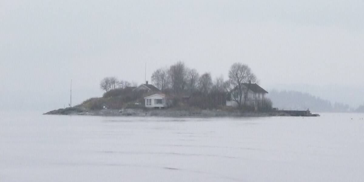
Photo: Olga Gairin·CC BY-SA 3.0· Wikimedia Commons
Islands / Asker / Konglungøya
Konglungøya belongs to the shore settlement of Konglungen, which grew out of fishermen's houses in the 1700s and became a shipping point for lime and ore in the 1800s. Later a summer resort of Swiss-chalet-style villas, and today a well-off residential area. At the eastern end lies the Konglungen natural monument, about 3,100 square metres, in practice unreachable from land.
Konglungen is a small, tightly built shore settlement in the inner Oslofjord, partly on Konglungøya itself and partly on the Løkenes peninsula behind it. From the water you see old Swiss-chalet-style villas (*sveitservillaer*) and well-kept houses along the shoreline. Look towards the eastern end of the island. The Konglungen natural monument (*naturminne*) is there, an undeveloped knoll of some 3,000 square metres that you cannot in practice reach from land.
Konglungen natural monument (3,100 square metres at the eastern end). The boundaries and the rules are in Naturbase, and they are worth checking before you land anywhere outside the marked areas.
Konglungen is connected by bridge; the natural monument at the eastern end is hard to reach from land.
The island is connected by road, so you need neither a boat nor a timetable.
Konglungen began as a place to live for fishermen and landless coastal cottagers (*strandsittere*) under the Løkenes farm. They lived off the fishing and off carrying goods in to Oslo. During the coastal sloop trade (*jaktefarten*) between about 1820 and 1860 the place flourished. Small vessels shipped lime out from the many lime kilns of Bærum and carried iron ore between the coast and the interior. Konglungen became a shipping point.
From the 1870s wealthy Oslo families arrived and built Swiss-chalet-style villas for the summer. The infrastructure followed: a bridge in 1905, a seasonal post office in 1918 and a general store in 1928. After the Second World War the summer houses were converted into year-round homes, and Konglungen became a well-off residential area. In 2025 it had 269 residents on 0.22 km².
Konglungen is a well-off residential area of old villas with permanent residents, connected to the mainland by bridge. The natural monument at the eastern end is the undeveloped exception, protecting geological features of the Oslo Rift (*Oslofeltet*). It is hard to reach from land.
A bridge carries the road in, so people come by car. From the water you can put in with a private boat where it is permitted. Most of the shoreline is private. The natural monument at the eastern end, about 3,100 square metres, is protected and difficult to reach from land. Check the protection rules before landing there.
The Swiss-chalet villas that are expensive year-round homes today began as summer houses for the Oslo bourgeoisie in the 1870s. The place itself started much earlier, as a fishing settlement under a farm.
The lime shipped out from here in the 1800s came from the kilns of Bærum. Konglungen was the staging post between kiln and market.
Oslo Sea Experience passes Konglungøya on its private fjord trips from Tjuvholmen.
The Norwegian version notes which facts were taken from each source: Konglungøya på norsk.