Photo: Colliekar·CC BY-SA 4.0· Wikimedia Commons
Islands / Asker / Langåra
One of the larger islands in the inner Oslofjord, about 2 km long and 200 m wide. A popular public recreation area with a long tradition of camping summers. The old shop is now a coastal trail cabin (*kystledhytte*), and Norwegian People's Aid staffs a first-aid post here in summer. Good anchoring in Middagsbukta.
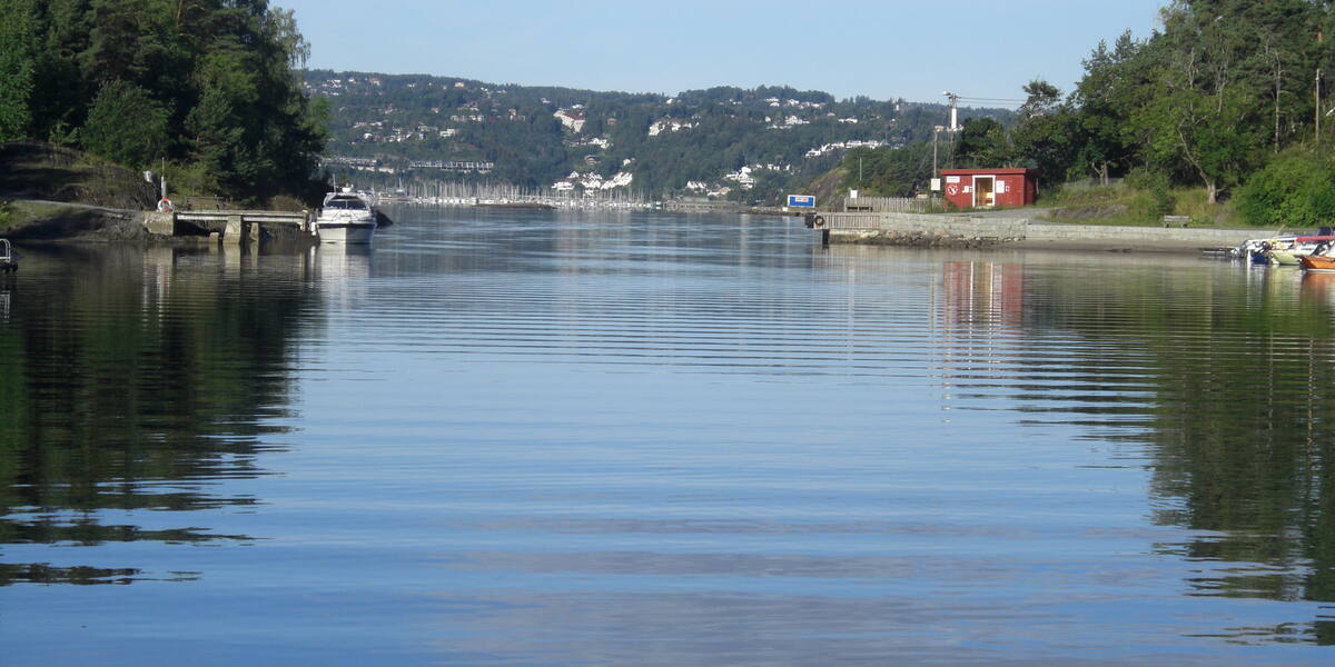
A long, narrow island in northeast Asker, about two kilometres from southwest to northeast and only around 200 metres wide. From the water it reads as a thin wooded ridge. Aim for Middagsbukta on the west side, the best natural harbour, where boats lie at anchor on fine summer days. The old shop, now a cabin, is the landmark to steer by.
Langåra nature reserve (protected 2008, broadleaf forest on limestone). The boundaries and the rules are in Naturbase, and they are worth checking before you land anywhere outside the marked areas.
Part of Kystled Oslofjorden. See all the coastal trail cabins.
Private boat.
No scheduled boat comes here. You will have to find the nearest public quay yourself, and the rest is your own boat or a kayak. Check the wind and wave forecast before you set out. The open stretches in the outer fjord turn unpleasant in a fresh breeze.
Langåra sits in the Oslo Rift (Oslofeltet), on bedrock of Cambro-Silurian seabed deposits, shale and limestone tilted almost on end. Limestone was quarried here on a small scale until around 1900.
Oslo municipality bought Langåra in the 1920s and turned it into a public recreation area. Through the twentieth century hundreds of families from Oslo, Bærum and Asker camped here every summer, in simple tents and wooden huts. The old shop, known as "Butikken", supplied the camping summers and serves today as a coastal trail cabin. In 1953 the director Edith Carlmar made the documentary "Langåra – et ferieparadis" about summer life on the island.
Langåra is one of the most used public recreation areas in the inner Oslofjord. Norwegian People's Aid staffs a first-aid post on the island in summer. There are free camping spots for short stays, and the cabin in the old shop can be booked. The island has no private cabins. The woodland is mostly broadleaf forest on lime-rich ground, with lush vegetation and a thin population of roe deer.
No ferry runs here, so come by private boat or kayak. Middagsbukta gives good anchoring. Camping is allowed for short stays at the marked sites. The cabin in "Butikken" is booked with Oslofjordens Friluftsråd, the Oslo Fjord Outdoor Council.
Protection: part of the island is Langåra nature reserve, protected in 2008 to preserve the broadleaf forest on limestone. Stay on the paths and in the recreation areas, and read the reserve rules before moving through the reserve itself.
The camping summers on Langåra were so established that they got their own film in 1953. Edith Carlmar, Norway's first female feature film director, made "Langåra – et ferieparadis".
The shop that once sold provisions to the tent camp is now a bed for kayakers in the coastal trail system.
Oslo municipality bought the whole island in the 1920s to secure it as open country for city people, outdoor policy well before it had a name.
Oslo Sea Experience passes Langåra on its private fjord trips from Tjuvholmen.
The Norwegian version notes which facts were taken from each source: Langåra på norsk.