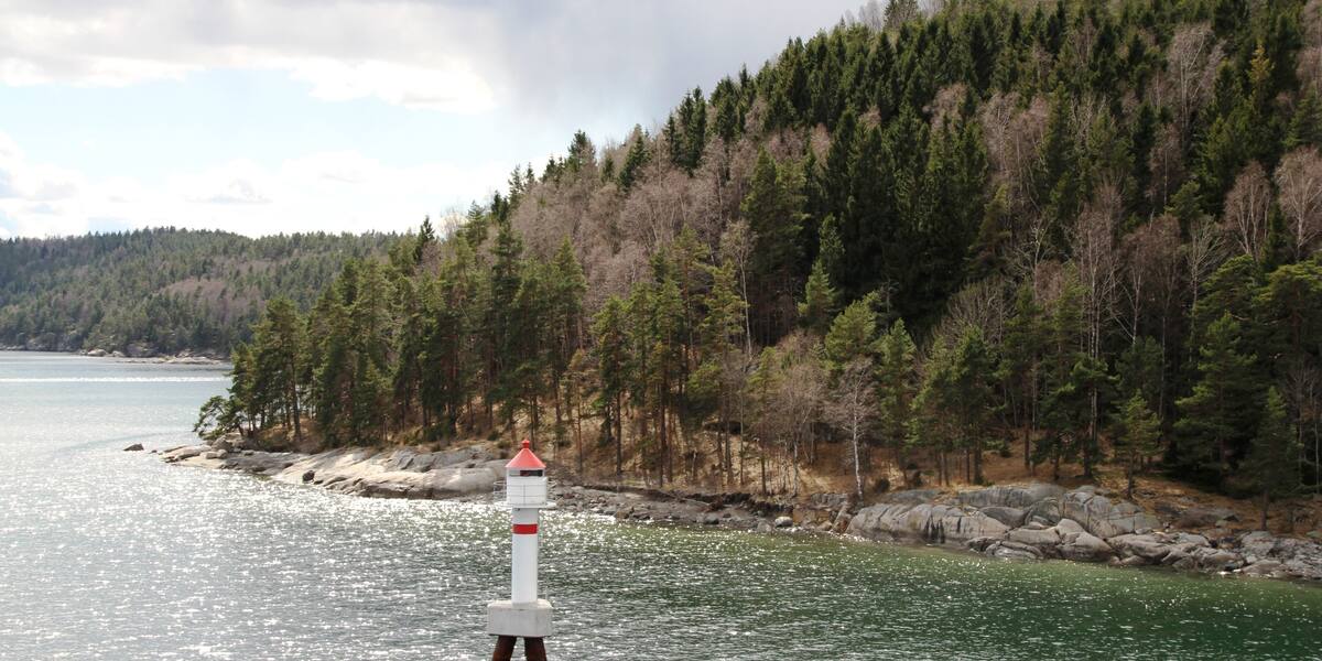
Photo: Bjoertvedt·CC BY-SA 3.0· Wikimedia Commons
Islands / Frogn / Nordre Håøya
The northern part of Håøya, the large recreation island in the inner Oslofjord owned by the City of Oslo. Walking country and room for tents; harbours include Dragsundet.
This is the north end of Håøya, the large recreation island owned by the City of Oslo. The terrain flattens out here towards Dragsundet in the west, where there is a small-boat harbour. The walking is easy and the ground suits tents.
all animal and plant life on Håøya is protected; access restriction in the east because of nesting white-tailed eagles. The boundaries and the rules are in Naturbase, and they are worth checking before you land anywhere outside the marked areas.
private boat or kayak; seasonal ferry in the summer months.
Boats do run here, but the quay is not in Entur’s system. It is usually a summer service or a private crossing that never enters the national journey planner. Check with the operator before you build a day around it.
Nordre Håøya is the northern part of Håøya, the largest island in the inner Oslofjord. The City of Oslo bought most of Håøya in 1937 for public recreation. The northern part has been walking country ever since, without the heavy industrial and military history that marks the south end. The gunpowder factory stood on Mellomøya to the east, and the fortifications tied to Oscarsborg are on Sørøya in the south.
Paths cross the north end, and there is room for tents. Dragsundet in the west is one of the three small-boat harbours on Håøya, along with Sagbukta and Tåjebukta. It all belongs to the large recreation area the municipality manages.
Own boat or kayak all year, with a harbour at Dragsundet. The seasonal ferry to Håøya runs from Aker Brygge in season, so check the current timetable.
Protection: all animal and plant life on Håøya is protected. Sørøya nature reserve (2002) lies to the south, and the access restriction for nesting white-tailed eagles (from 2008) covers the eastern part, so check Naturbase for the exact boundary. The north end itself is walking and tenting ground, but respect the protection of the animal and plant life.
The north end escaped both the gunpowder factory to the east and the fortifications to the south. It has been walking country the whole time.
Håøya as a whole crowns the Oslofjord: Varden further south reaches 229 metres, the highest point anywhere on the fjord.
Oslo Sea Experience passes Nordre Håøya on its private fjord trips from Tjuvholmen.
The Norwegian version notes which facts were taken from each source: Nordre Håøya på norsk.