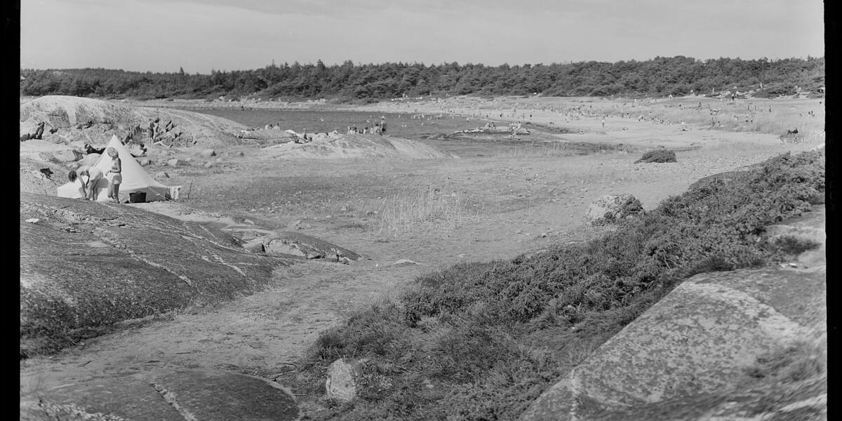
Photo: Unknown authorUnknown author·Public domain· Wikimedia Commons
Islands / Hvaler / Kirkøy
The largest and most populous of the Hvaler islands, with the main village of Skjærhalden and Hvaler kirke, a medieval church from the 1100s and 1200s. It is the hub for scheduled boats to the car-free islands and across to Strömstad. Part of the landscape covered by Ytre Hvaler National Park.
Kirkøy is the largest of the Hvaler islands, at the southern edge of the archipelago. From the sea you recognise it by Skjærhalden: the tight white cluster of buildings around the guest harbour, with the terminal where boats leave for the car-free islands and across to Strömstad. Inland from the harbour rises Botneveten, the island's highest point at 70 metres. Some way inland, hidden behind the rock outcrops, stands Hvaler kirke.
road all the way, through the Hvalertunnelen from Asmaløy; boat terminal at Skjærhalden.
The island is connected by road, so you need neither a boat nor a timetable.
Kirkøy takes its name from the church. Hvaler kirke is Romanesque, built of stone, with its oldest parts from around the year 1100, and is one of Norway's medieval churches. It stood here long before either road or tunnel. For centuries it was the church for the whole archipelago, and people rowed in to services from the outer islands.
The church was restored in 1953–56 under the antiquarian Håkon Christie. A south portal that had been bricked up was opened again, lime-plaster wall paintings were uncovered, and a new sacristy was added. Beneath the floor, Erling Johansen carried out the first archaeological excavation under a church floor in Norway. He found more than a thousand coins, most of them medieval, from between 1202 and 1387: offerings that had slipped between the floorboards over centuries. Around the year 2000 the church was designated Hvaler's millennium site (*tusenårssted*), the landmark the municipality chose for the occasion. A new organ from the German firm Richard Rensch Orgelbau, with 21 stops, was installed in March 2020.
Skjærhalden grew up as a harbour and trading place at the outer end of the island. All boat traffic south and east in Hvaler now goes through it.
Skjærhalden is the municipal centre: shops, a guest harbour, places to eat and the boat terminal. The landscape is low and rocky, partly wooded, and there are several places to swim, Storesand among them. In summer the population multiplies with cabin owners and boat traffic. The island is a little over 30 km².
Kirkøy is reached by road all the way, on county road 108 (fv108) and through the Hvalertunnelen from Asmaløy. From Skjærhalden scheduled boats run to the car-free islands, Herføl, Søndre Sandøy and Lauer, and a passenger boat crosses to Strömstad in Sweden. Check the operator's current timetable for departure times, which change with the season. Parts of the waters and land around the island lie within Ytre Hvaler National Park, established on 26 June 2009. Inside the park and in the seabird reserves, access is restricted under the protection regulations. Follow the signs and the dates in force.
When Erling Johansen lifted the floor of Hvaler kirke in the 1950s, he found more than a thousand coins in the ground. They were offerings that had fallen between the boards since the Middle Ages. It was the first archaeological excavation under a church floor in Norway, and Hvaler became the reference point for how it is done.
The church gave the island its name. Before the tunnel opened in 1989 this was the gathering point for a whole parish that travelled by boat. People from the outer islands rowed or sailed in for christenings, weddings and funerals.
From Skjærhalden you can take the boat straight across to Sweden. Strömstad is closer than much of Norway.
Oslo Sea Experience passes Kirkøy on its private fjord trips from Tjuvholmen.
The Norwegian version notes which facts were taken from each source: Kirkøy på norsk.