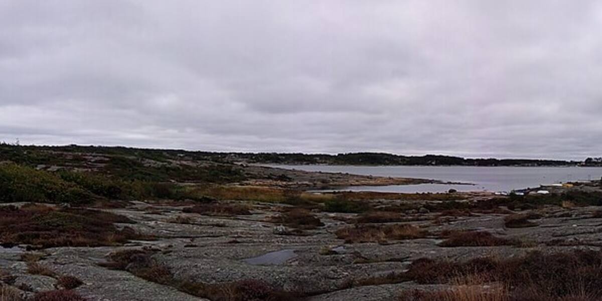
Photo: Premeditated·CC BY-SA 4.0· Wikimedia Commons
Islands / Hvaler / Hvaler
Island municipality in the outer Oslofjord southeast of Fredrikstad, made up of 833 islands, islets and skerries. Skjærhalden is the administrative centre, and the summer population swells to around 30,000. Ytre Hvaler National Park, Norway's first marine national park, covers part of the archipelago. Among the sunniest places in the country, with a strong coastal culture, a fishing harbour at Utgårdskilen and a medieval church from around 1100.
Hvaler is a whole archipelago at the outer end of the Oslofjord, southeast of Fredrikstad: 833 islands, islets and skerries larger than 20 square metres. From the water you see the low, ice-smoothed gneiss ridges, the cabins along the sheltered inlets, and further out the open fjord towards Sweden. Skjærhalden on Kirkøy is the municipal centre and the hub for the boats out to the car-free islands.
parts within Ytre Hvaler National Park. The boundaries and the rules are in Naturbase, and they are worth checking before you land anywhere outside the marked areas.
road access via the Hvaler tunnel (1989) and county road 108 (fv108) to the inner islands; scheduled boat and ferry from Skjærhalden to the outer islands.
The island is connected by road, so you need neither a boat nor a timetable.
People have lived off the sea here for thousands of years. Several of the islands carry Bronze Age burial cairns, high up and visible from the water. Hvaler church on Kirkøy dates from around 1100. It stood here long before the road and the tunnel arrived.
The coast lived on fishing, pilotage and customs work, stone cutting and orchards. The fisheries held on longer here than in most places. Utgårdskilen is still the largest fishing harbour east of Lindesnes.
The road connection came late. The Hvaler tunnel, which links the inner islands to the mainland, opened on 2 October 1989. Before that Hvaler was a boat community.
The municipality has around 4,700 permanent residents (2026). In summer the population swells to about 30,000 as cabin owners and boat visitors fill the archipelago. The four large main islands, Vesterøy, Spjærøy, Asmaløy and Kirkøy, are connected by bridge and tunnel and have road access. Herføl, Søndre Sandøy and Lauer further out are car-free and served by scheduled boat from Skjærhalden. Fishing, cabin life and tourism carry the economy.
Road access via the Hvaler tunnel (1989) and county road 108 to the four inner main islands. Scheduled boats and ferries run from Skjærhalden to the car-free outer islands and to Strömstad in Sweden. Check the operator's current timetable for departure times. Parts of the archipelago lie within Ytre Hvaler National Park, established on 26 June 2009. Norway's first marine national park, it covers 354 km², of which 340 km² is sea. Access restrictions apply in the national park and in the seabird reserves under the conservation regulations. Check the signage and the current dates. These restrictions are legally binding.
Hvaler is among the sunniest places in Norway. Rain fronts from the west often let go before they get this far out. People from eastern Norway looking for sun on their holiday have known it for generations.
Under the water in the outer archipelago lies Tislerrevet, the largest known inshore cold-water coral reef in the world. It was a main reason the national park was established in 2009, at the same time as Kosterhavet on the Swedish side of the border.
Granite from Hvaler turns up as building stone far from the archipelago. Cutting it was a trade of its own when fishing did not bring in enough.
Oslo Sea Experience passes Hvaler on its private fjord trips from Tjuvholmen.
The Norwegian version notes which facts were taken from each source: Hvaler på norsk.