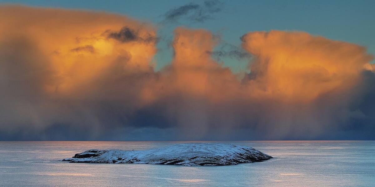
Photo: Tastatur63·CC BY-SA 4.0· Wikimedia Commons
Islands / Bærum / Gåsøya
Island in the Bærum archipelago between Ostøya and Nesodden, a good kilometre long. A light on the east side marks the shipping lane towards Oslo, and Gåsøya nature reserve protects two smaller areas on the northwest side.
South of Ostøya, in the sound between Ostøya and Nesodden, lies a long island of a good kilometre. A light at its eastern end forms part of the shipping lane into Oslo. It is the clearest reference point here. The inner side towards Ostøya has smaller islets.
Gåsøya nature reserve (parts of the island); check Naturbase for access rules. The boundaries and the rules are in Naturbase, and they are worth checking before you land anywhere outside the marked areas.
Private boat or kayak.
No scheduled boat comes here. You will have to find the nearest public quay yourself, and the rest is your own boat or a kayak. Check the wind and wave forecast before you set out. The open stretches in the outer fjord turn unpleasant in a fresh breeze.
Gåsøya has a fair number of private cabins, but beyond that the historical record is thin. The light at the east end is the clearest trace of what the island has been for: it marks the lane for shipping into Oslo. The year the light was built is not known from the available sources.
Geologically the island belongs to the Oslo Rift (Oslofeltet). The layers of limestone and shale stand almost vertical, twisted about 90 degrees from where they were once laid down on the seabed in the Cambro-Silurian.
The island is used for cabin life, with a number of private holiday houses. The light still stands and works as a navigation mark. Two smaller areas on the northwest side are protected as Gåsøya nature reserve.
Access is by private boat or kayak. Much of the island is private cabin ground, so take care when landing and keep to the shore zone, which is open under the Outdoor Recreation Act. Gåsøya nature reserve takes in two small areas on the northwest side. Access rules and any restrictions are set out in the protection decision. Check Naturbase, the national database of protected areas, for the exact reserve boundaries and rules before going ashore there. The light is an active navigation mark and not somewhere to tie up.
The light on the east side makes Gåsøya a working part of the shipping lane. It shows the way for everything heading into Oslo harbour, small craft and cruise ships alike.
The rock has been through a great deal: layers that once lay flat on a tropical seabed tilt almost on end today, after the Oslo Rift was pushed and folded.
Oslo Sea Experience passes Gåsøya on its private fjord trips from Tjuvholmen.
The Norwegian version notes which facts were taken from each source: Gåsøya på norsk.