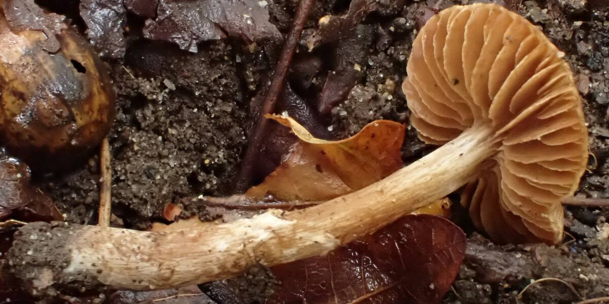
Photo: Cortinarius umbrinolutescens Reumaux Observed in Norway by Kari Ekeberg Nilsen (licensed under https://creat·CC BY 4.0· Wikimedia Commons
Islands / Hvaler / Asmaløy
One of the four main islands on Hvaler, reached by road over the bridges from the mainland and a bridge from Spjærøy. The southwestern part lies within Ytre Hvaler National Park, and the island holds several nature reserves (Gravningen, Skipstadsand, Kvernemyr). Skipstadsand is a well-known beach.
Asmaløy is one of the four large main islands on Hvaler, long, low and grass-grown, with cabins packed along the south side. From the sea to the south you see Skipstadsand, one of the best-known beaches on Hvaler, and behind it the bare heath rising towards Fotvarden at just over 36 metres. The southwestern tip falls inside Ytre Hvaler National Park. A summer day at Skipstadsand shows why half of eastern Norway comes here in July.
Several nature reserves; part of Ytre Hvaler National Park. The boundaries and the rules are in Naturbase, and they are worth checking before you land anywhere outside the marked areas.
Road (the Hvaler tunnel and bridges).
The island is connected by road, so you need neither a boat nor a timetable.
The name probably comes from the Old Norse *mǫl*, a heap of stones or a stony shore, which fits an island where the bedrock breaks through everywhere. The first element has no accepted explanation.
For a long time Asmaløy was reached by boat like the rest of the outer Hvaler islands. The road came late. In 1972 bridges opened that linked Asmaløy to Kråkerøy and the mainland by way of Spjærøy, Vesterøy and Kjøkøya. In 1989 an undersea tunnel carried the road on to Kirkøy and the municipal centre at Skjærhalden. Cabin building took off once the road was there.
The writer Johan Borgen lived on Asmaløy for many years, in a house called Knatten.
Asmaløy has 1,152 permanent residents (2024) and a far larger summer population. The main village is Rød in the north, with around 700 inhabitants and a lower secondary school. Viker and Vikerhavn are in the south, Skipstad and Tuva in the east. Several harbours serve pleasure boats and residents. Cabin life, swimming spots and walking country dominate the island.
Asmaløy is reached by car the whole way: the fv108 road across the bridges from the Fredrikstad side, then through the Hvaler tunnel. No ferry is needed. There are four protected areas on the island: the Gravningen, Kvernemyr and Skipstadsand nature reserves, and the Åsebutjernet habitat protection area. The southwestern part belongs to Ytre Hvaler National Park, established on 26 June 2009. Check the signage for access restrictions in the reserves. These are protection regulations, not advice. Skipstadsand is open to everyone.
Johan Borgen, who wrote Lillelord, did much of his writing on Hvaler, in the house called Knatten on Asmaløy. He may be the archipelago's best-known summer resident.
Asmaløy got a fixed road link only in 1972, and the tunnel on to Skjærhalden came in 1989. Anyone old enough remembers a Hvaler you could reach only by boat.
Fotvarden, the highest point on the island, has *varde*, cairn, in its name: an old seamark and lookout. From up there you look out over Løperen, the wide sound between Asmaløy and Kirkøy.
Oslo Sea Experience passes Asmaløy on its private fjord trips from Tjuvholmen.
The Norwegian version notes which facts were taken from each source: Asmaløy på norsk.