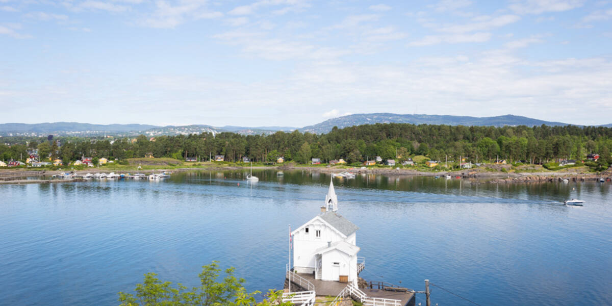
Photo: Tore Sætre·CC BY-SA 4.0· Wikimedia Commons
289 cabins
Around 1905, town families began pitching tents on Lindøya for the summer. A midsummer party with dancing brought restrictions, the restrictions brought an application, and the application became a cabin town of 289 houses, low and uniform for a century.
Lindøya is state-owned and covers 0.41 square kilometres. Its outdoor life began around 1905, when town families started pitching tents on the island for the summer. The tents stood the season out, and island life was informal enough to be noticed eventually: after a midsummer celebration with dancing around 1920, restrictions followed.
The tent dwellers answered with order. Members of the boat associations applied to the Ministry of Agriculture for leave to put up permanent cabins against a ground rent, in return for organising themselves and keeping things tidy. It was granted. The result stands there today: 289 cabins, organised in 16 wards, each with its own elected leader.
The infrastructure came later, and the cabin owners laid it themselves. Electricity in 1954, water in 1960, both by voluntary labour. The cabins are painted in regulated colours and built to strict dimensions, which is why the settlement has kept the same low, uniform look for a hundred years.
The island carries an older trace of precision too: in 1833 the astronomer Christopher Hansteen set a meridian stone here, a fixed point for the surveying of the country. The stone stood on Lindøya long before the tents, the cabins and the ward leaders, and it stands there still.
Access, protection and live departures stand on the island page: Lindøya.
Every fact in this piece is drawn from the island dossier behind the island page, and these are its sources.