Photo: Trine Syvertsen·CC BY 2.0· Wikimedia Commons
Islands / Hvaler / Singløya
The northernmost island in Hvaler, in Singlefjorden north of Kirkøy. It had its own school until 1939 and still has permanent residents.
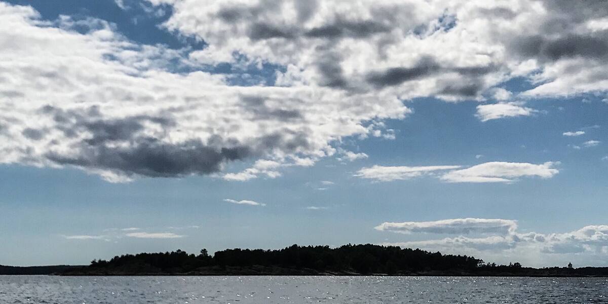
Singløya is low and partly wooded, with scattered buildings along the shores. From here you look across to the Swedish coast in the east. Singlefjorden is border water with Sweden.
private boat or kayak.
No scheduled boat comes here. You will have to find the nearest public quay yourself, and the rest is your own boat or a kayak. Check the wind and wave forecast before you set out. The open stretches in the outer fjord turn unpleasant in a fresh breeze.
Singløya had its own school until 1939, when the archipelago was still densely populated. After the war, year-round life disappeared from most places in the outer Hvaler islands, but Singløya kept its permanent residents, and it still has them.
Gunillaholmen lies just west of the island. The name comes from Gunilla Taraldsdatter, who was executed there in 1713. Executions on remote islets were common practice in the archipelago at the time. The islet carries her name to this day.
People live here all year, with cabin life on top. There is no shop, pub or public landing.
No scheduled boat calls at Singløya. Landing is by private boat. The buildings are private, so keep to the shore zone and the right to roam (*allemannsretten*). Protection status and any access restrictions have not been verified for this island specifically.
Gunilla Taraldsdatter was executed on a bare islet here in 1713, and the islet has been called Gunillaholmen ever since.
The school on the island kept going until 1939.
The Swedish border runs out in the middle of Singlefjorden.
Oslo Sea Experience passes Singløya on its private fjord trips from Tjuvholmen.
The Norwegian version notes which facts were taken from each source: Singløya på norsk.