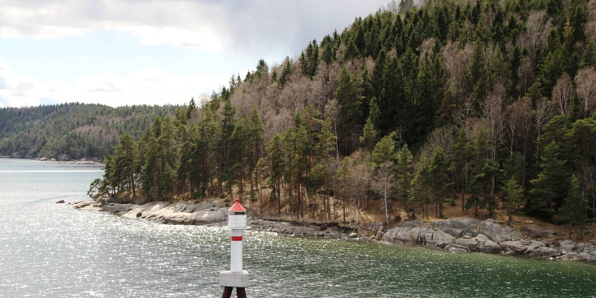
Photo: Bjoertvedt·CC BY-SA 3.0· Wikimedia Commons
Islands / Frogn / Håøya
The largest island in the inner Oslofjord (5.2 km²), owned and managed by the City of Oslo as public outdoor land, with campsites and several harbours (Sagbukta, Tåjebukta, Dragsundet). Varden, 229 metres above sea level, is the highest point anywhere on the Oslofjord. Gunpowder was made on Mellomøya during the First World War. It is a popular destination for walkers and boaters.
The big wooded island that squeezes the Drøbak sound to its narrowest. The summit above you is Varden, 229 metres, the highest point on the whole Oslofjord. Boats usually anchor off Sagbukta on the east side, or in at Tåjebukta in the west. From either you can see how steeply Håøya rises straight out of the fjord.
Sørøya nature reserve (2002); access restrictions in the east because of nesting white-tailed eagles (2008); all animal and plant life on the island is protected. The boundaries and the rules are in Naturbase, and they are worth checking before you land anywhere outside the marked areas.
Part of Kystled Oslofjorden. See all the coastal trail cabins.
Own boat or kayak; seasonal ferry in the summer months; guest harbours in the coves.
Times shift with the season, and several of the island boats run only in summer. Check the current timetable at Ruter.
Håøya covers 5.2 km², which makes it the largest island in the inner Oslofjord. An explosives works operated here during the First World War: A/S Haaøens Fabriker produced gunpowder on Mellomøya on the east side. Production ended in 1918 after an explosion. Of the 88 buildings from the factory years, 22 are still standing.
In 1937 the City of Oslo bought most of the island for public recreation, and the city still owns and manages it. The southeastern part of Sørøya belongs instead to Oscarsborg fortress and is military property. That is why there are bunkers and gun emplacements in the south, part of the defence of the Drøbak sound.
The Germans used the island during the occupation. Local history sources record that six young men were executed on Håøya in 1942.
Håøya is one of the most used destinations in the inner fjord. The City of Oslo runs campsites with a gathering house, water and toilets, and three small-boat harbours: Sagbukta in the east, Tåjebukta and Dragsundet in the west. A zoning plan has been adopted for a public guest harbour at Tåjebukta with room for around 90 boats. The rest of the island is walking country, with paths up to Varden, smooth rock and bathing coves.
A seasonal ferry runs from Aker Brygge in season, at limited frequency. Check the current timetable. Own boat or kayak works all year, and there are guest harbours in the coves.
Protection: Sørøya nature reserve was established in 2002. Access to the eastern part has been restricted since 2008 because white-tailed eagles nest there. Check Naturbase, the national database of protected areas, for the exact boundary and dates before landing on that side. All animal and plant life on the island is protected, and over 100 species of fungi and 24 tree species have been recorded.
Varden is the roof over the Oslofjord: at 229 metres, no point on the fjord is higher.
The gunpowder works ended the way gunpowder works tend to: an explosion in 1918, and that was that.
White-tailed eagles nest in the east again. The access ban there is why half the island is quiet through the breeding season.
The site had 88 buildings at its peak. Twenty-two remain. The forest has taken the rest.
Oslo Sea Experience passes Håøya on its private fjord trips from Tjuvholmen.
The Norwegian version notes which facts were taken from each source: Håøya på norsk.